Topographer in Jávea: Precision and experience for your project
If you are looking for a topographer in Jávea, La Quinta Fachada Estudio de Arquitectura offers you a highly skilled and experienced team. We specialise in topographic and geomantic services in Jávea, Alicante, and throughout the Comunidad Valenciana, ensuring accurate measurements for all types of projects.
From infrastructure development to cadastral data updates, our topographers in Jávea use the latest technologies to deliver precise and reliable results.
We work with total stations, differential GPS, and drones to ensure efficient topographic surveys tailored to the needs of our clients.
Topographic services in Jávea: Tailored solutions for every project
Our team of experts in topographic services provides customised solutions for a wide range of projects. Our main services include:
1. Topographic surveys in Jávea
We conduct detailed topographic surveys for building, urban development, renovation, and land control projects. We ensure maximum accuracy in every measurement, using advanced georeferencing tools.
2. Cadastral georeferencing and land regularisation
If you need to update property information in the land registry, our topographers in Jávea handle the measurement, documentation, and processing required by the relevant authorities.
3. Setting out works and land parceling
Before starting any construction project, a detailed land study is essential. As a topography company in Jávea, we carry out the setting out of buildings, infrastructure, and service networks to ensure the correct execution of the project.
4. Geomantic studies in Jávea and Alicante
In addition to technical precision, at La Quinta Fachada, we offer geomantic studies to analyse the energy of the land and harmonise it with the surroundings. These studies are key for those seeking balance in their constructions.
5. Earth movement control and site supervision
We ensure that earthworks on a site follow the planned specifications. We measure variations and potential deviations to prevent risks in construction.
6. Land measurements and boundary surveys in Jávea
We precisely determine property boundaries and areas, ensuring that cadastral and registry documentation aligns with the physical reality of the land.
Why choose La Quinta Fachada as your topographer in Jávea?
If you are looking for an experienced topographer in Jávea with cutting-edge technology, here are a few reasons to choose us:
- Experience and professionalism: Years of experience working on a variety of projects in Jávea and throughout the Comunidad Valenciana.
- State of the art equipment: We use GPS, drones, and specialised software to deliver precise and up-to-date reports.
- Regulatory compliance: We ensure that every study and measurement meets current regulations in Alicante and Spain.
- Personalised service: We provide tailor-made solutions for each client, ensuring results that meet their specific needs.
We specialise in assisting builders, architects, engineers, private individuals, and public entities to ensure the success of their projects.
Topography for construction and urban planning in Jávea
Topography is a key aspect of any construction project. Having a topographer in Jávea from the outset ensures that the execution of a project follows the plans accurately and without unexpected issues.
Some of the applications of our topographic services in Jávea include:
- Building and housing renovation
- Urban development and public space planning
- Infrastructure and road networks
- Industrial and commercial project development
If you need a detailed land survey or want to ensure the precise implementation of a structure, our topographers in Jávea are ready to assist you.
Collaborations and recent projects in Jávea and Alicante
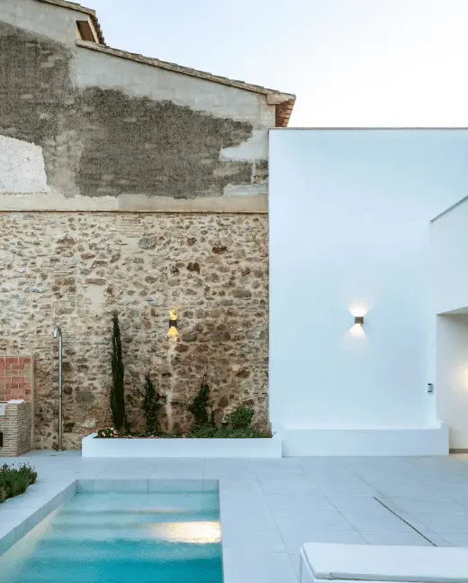
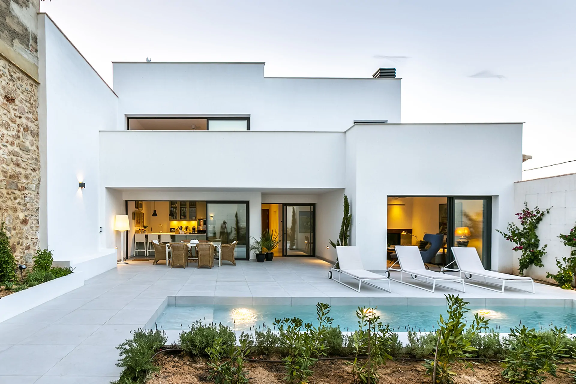
We have worked on a wide range of projects in Jávea, Alicante, and the Comunidad Valenciana, collaborating with architects, engineers, and property developers on urban developments, space rehabilitation, and cadastral management.
Our experience and precision make us a leading reference in the field of topography in Jávea.
Frequently asked questions about topographic services in Jávea
When do I need a topographer in Jávea?
If you are planning a construction project, subdividing land, updating cadastral records, or verifying property boundaries, you need a professional topographer to ensure accurate measurements.
How much does a topographic survey cost in Jávea?
The price varies depending on the size of the land and the complexity of the project. Contact us for a personalised quote.
How long does a topographic survey take in Jávea?
It depends on the size of the area and the type of study required. Generally, a standard topographic survey can be completed within 1 to 3 working days.
Can I hire a topographer in Jávea to regularise a property in the land registry?
Yes, we provide cadastral georeferencing services to ensure that registry information matches the physical reality of the land.
Do you only work in Jávea, or do you cover the entire Comunidad Valenciana?
While we have a strong presence in Jávea, we also work in Oliva, Dénia, Benissa, Teulada, and other areas across the Comunidad Valenciana.
What technology do you use for topographic surveys in Jávea?
We use high-precision GPS, drones for photogrammetry, and total stations, ensuring accurate and reliable measurements.

